 National Parks Journal
Credits & Sources
Data sources
- National Park Service — Park information, entrances, lodging, entrance fees, activities, events, visitor statistics, and park photos (public domain).
- PRISM Group, Oregon State University — Monthly climate normals, 1991–2020 (Alaska 1981–2010); prism.oregonstate.edu, accessed Oct 5, 2026.
- NOAA National Centers for Environmental Information — 1991–2020 climate normals for parks in Hawaiʻi, the U.S. Virgin Islands, and American Samoa.
- U.S. Geological Survey — Elevations of weather locations, and place locations (GNIS) for towns without a Census place.
- U.S. Census Bureau — Town boundaries and locations, and lodging business counts (County Business Patterns) used to choose towns to stay in. This product uses the Census Bureau Data API but is not endorsed or certified by the Census Bureau.
- © OpenStreetMap contributors — Park entrance and airport terminal locations, town centers and lodgings, the map data behind airport-to-park and town-to-park road distances (routing via OSRM and Valhalla), and location search in the Park Finder (via Nominatim).
- Federal Aviation Administration — Airport passenger numbers used to classify airports as major, mid-size, or small (public domain).
- OurAirports — Airport locations and codes (public domain).
Information may change. Always check nps.gov for current conditions.
Photo credits
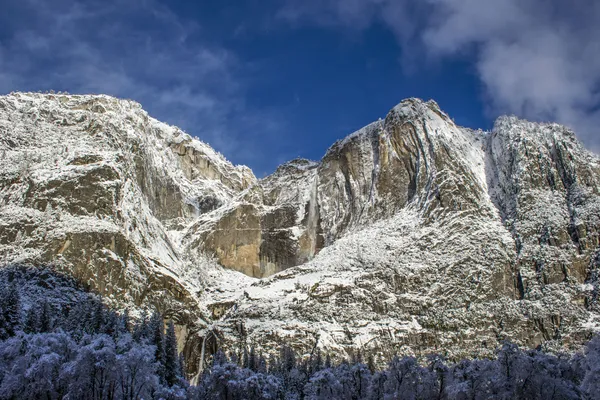
Park photos are public domain works of the National Park Service or are used under Creative Commons licenses. Photos may be cropped and resized.
 Acadia National Park
Photo: NPS / Victoria Stauffenberg · Public domain
 Arches National Park
Photo: Ymaup · CC BY-SA 3.0
 Badlands National Park
Photo: NPS Photo · Public domain

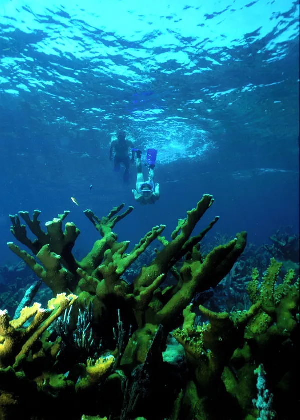 Biscayne National Park
Photo: NPS / Rob Waara · Public domain

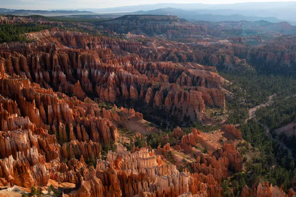 Bryce Canyon National Park
Photo: NPS Photo / Peter Densmore · Public domain
 Canyonlands National Park
Photo: NPS/Rhodes Smartt · Public domain
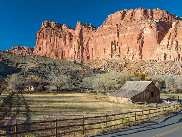
 Carlsbad Caverns National Park
Photo: NPS / Michael Larson · Public domain

 Congaree National Park
Photo: NPS Photo · Public domain
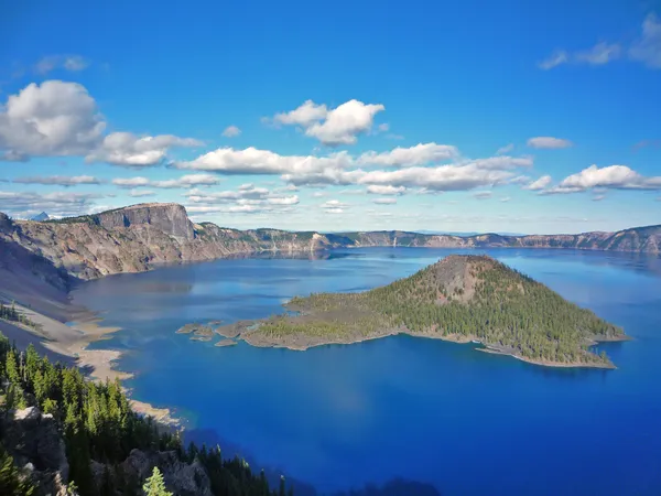 Crater Lake National Park
Photo: NPS Photo · Public domain
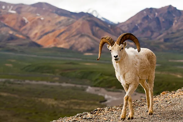 Denali National Park & Preserve
Photo: NPS / Tim Rains · Public domain
 Everglades National Park
Photo: NPS / G. Gardner · Public domain
 Gates Of The Arctic National Park & Preserve
Photo: NPS Photo / Sean Tevebaugh · Public domain


 Grand Canyon National Park
Photo: Romain Guy · CC0
 Grand Teton National Park
Photo: NPS Photo/Tobiason · Public domain
 Great Basin National Park
Photo: NPS Photo · Public domain
 Great Sand Dunes National Park & Preserve
Photo: NPS/Patrick Myers · Public domain
 Guadalupe Mountains National Park
Photo: NPS/Bieri · Public domain

 Hawaiʻi Volcanoes National Park
Photo: NPS Photo · Public domain
 Hot Springs National Park
Photo: NPS photo · Public domain
 Indiana Dunes National Park
Photo: NPS Photo · Public domain
 Isle Royale National Park
Photo: NPS Photo / Paul Brown · Public domain
 Joshua Tree National Park
Photo: NPS / Emily Hassell · Public domain

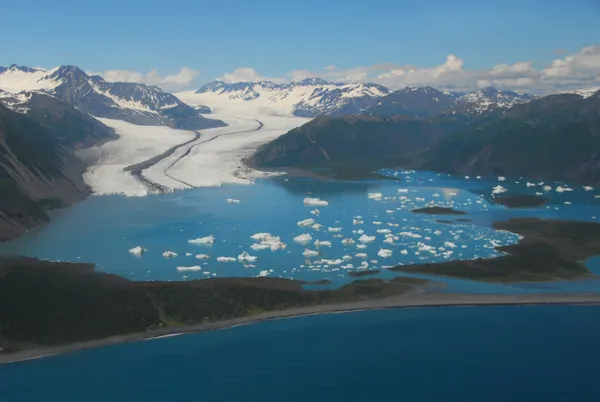 Kenai Fjords National Park
Photo: NPS Photo, S. Rainone · Public domain
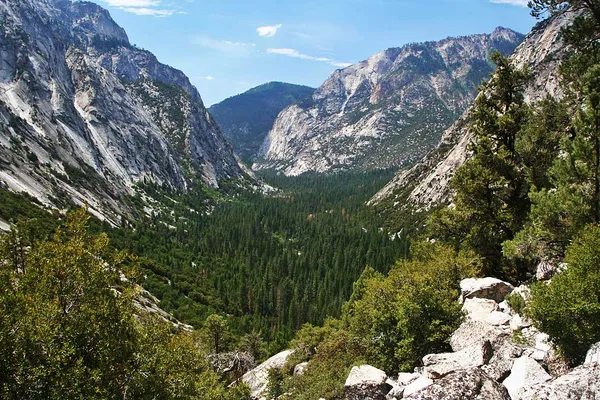
 Kobuk Valley National Park
Photo: NPS Photo · Public domain

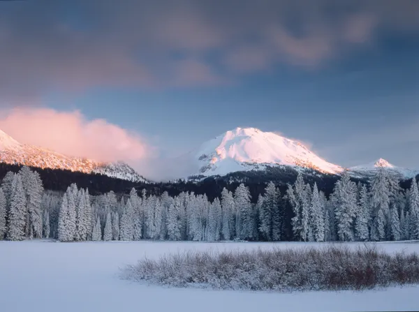 Lassen Volcanic National Park
Photo: NPS Photo / Scott Arnaz · Public domain
 Mammoth Cave National Park
Photo: NPS Photo / J. Cooper · Public domain

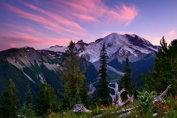
 National Park of American Samoa
Photo: NPS · Public domain
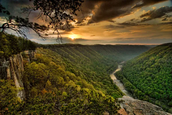
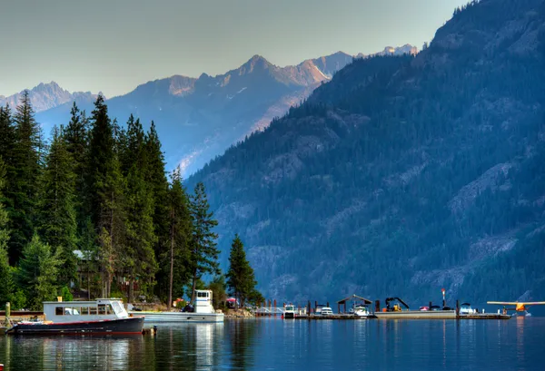
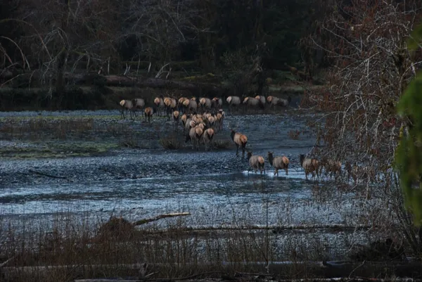
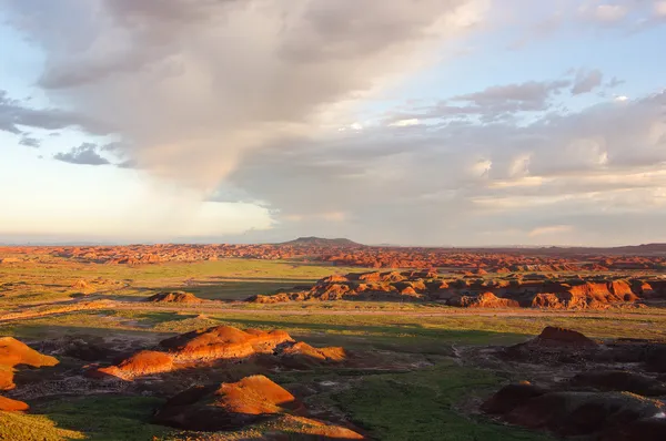

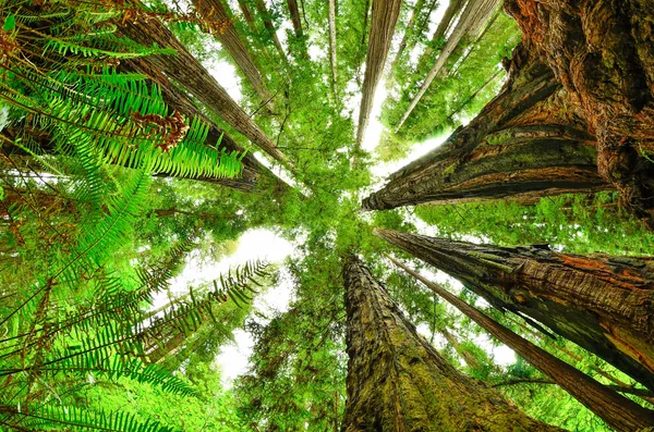
 Rocky Mountain National Park
Photo: NPS · Public domain

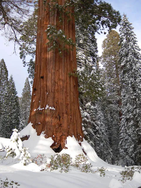

 Theodore Roosevelt National Park
Photo: NPS Photo / Mark Meyers · Public domain
 Virgin Islands National Park
Photo: NPS Photo · Public domain
 Voyageurs National Park
Photo: NPS Photo / Daniel Dendler · Public domain

 Wind Cave National Park
Photo: NPS Photo · Public domain
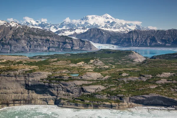 Wrangell - St Elias National Park & Preserve
Photo: NPS Photo/ Neal Herbert · Public domain
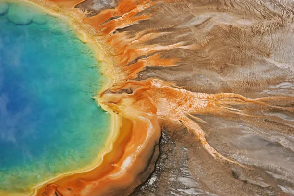 Yellowstone National Park
Photo: NPS/Jim Peaco · Public domain
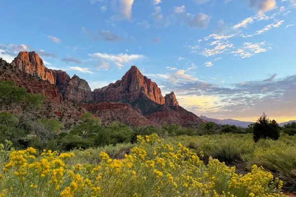 Zion National Park
Photo: NPS Photo / Shane Carte · Public domain